We are dedicated to optimizing client productivity and profitability through specialized land and hydrographic surveys. Our comprehensive geospatial services cater to government agencies, engineering consultants, contractors, and utility companies in the UAE, KSA, Oman and the rest of GCC.
read moreWe provide 3D Laser Scanning, and use it in industries, such as construction, land surveying, and agriculture. Our feature-based visual scanning tracks key points in successive frames to determine the 3D location and build a 3D map.
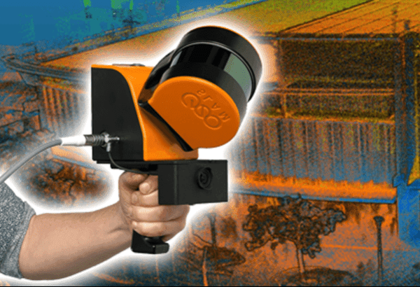
We provide Scan to BIM services to convert physical structures into digital models, enhancing design accuracy and efficiency. We facilitate precise data capture by Laser Scanning technology for architecture, engineering, and construction projects.
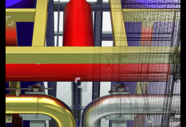
Using the Laser Scan data from the structures, we generate 2D drawings, floor plans, elevations, and 3D building models with detailed structural engineering information for documentation and design purposes.
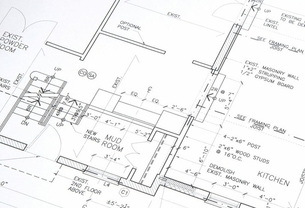
Our aerial surveys yield high-resolution (3cm GSD) orthomosaics, dense point clouds, Digital Surface Models (DSM), and Digital Terrain Models (DTM), exportable to diverse CAD formats for detailed design and planning.
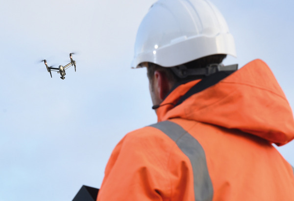
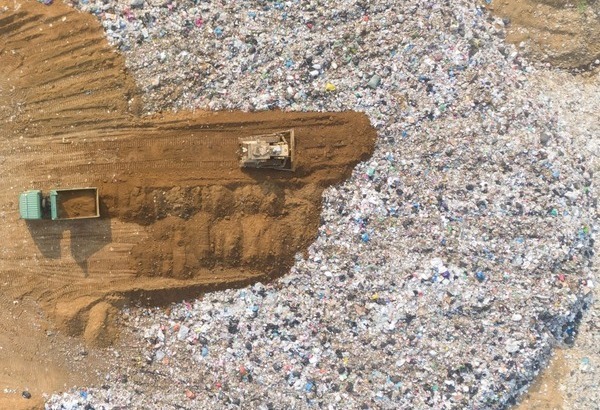
Leveraging UAV survey technology, Ard Geographics team safely operates from an elevated position, creating precise 3D CAD models to accurately measure landfill Sites. Yielding high-resolution data in diverse CAD formats.
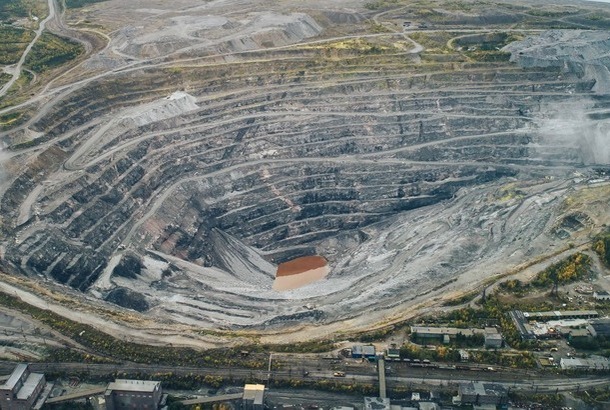
Our crew maximizes drone surveying for quarries, employing UAV technology to ensure efficient data collection. This enhances precision in 3D modeling, enabling accurate measurements for optimized quarry site management.
We support your company in surveying challenging stockpiles, generating precise and reliable data for your ongoing quantity analysis. Our services ensure accuracy and confidence, contributing to informed decision-making in your projects.
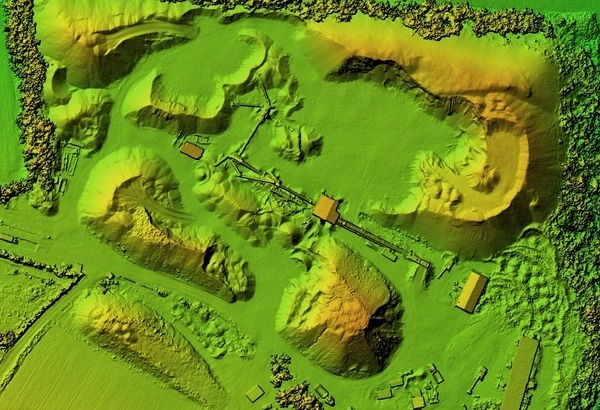
Topographic surveys employing drones to create precise elevation models of terrain provide cost-effective, efficient, and accurate data for various applications like urban planning, construction, and engineering.
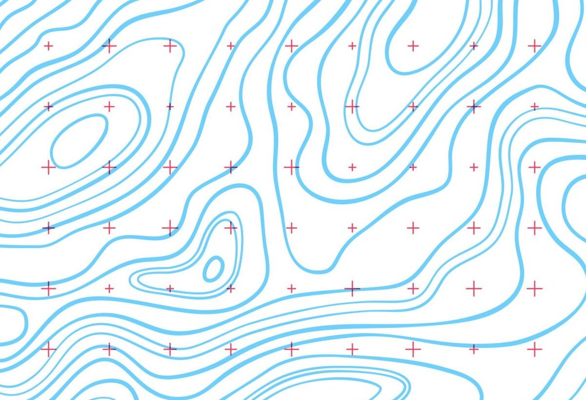
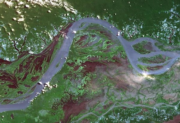
Ard Geographics employs cutting-edge technology for remote sensing services, tailoring accurate data and models to your project's needs. Our capabilities span UAV surveying, LiDAR, SONAR, and GIS, ensuring safe and efficient integration.
Ard Geographics is a forefront provider of airspace mapping technology and GCAA obstruction compliance services. Certified by Dubai Civil Aviation Authority, Ard has conducted over 800 aeronautical studies.
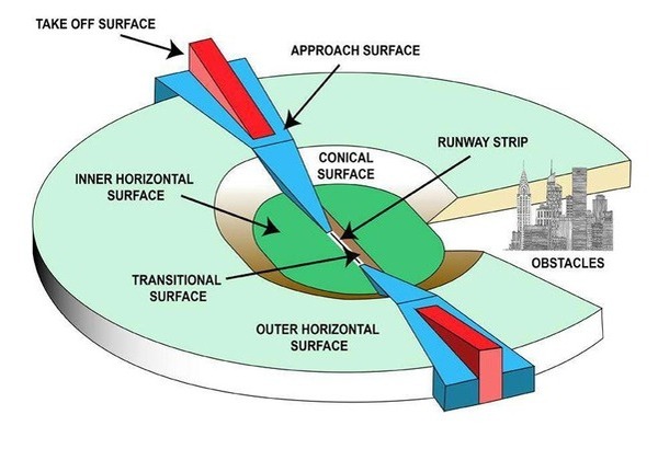
Ard specialize in collecting eTOD (Electronic Terrain and Obstacle Data), representing obstacles around the airport. We support eTOD obstacle data mapping for all ICAO Annex 15 areas.
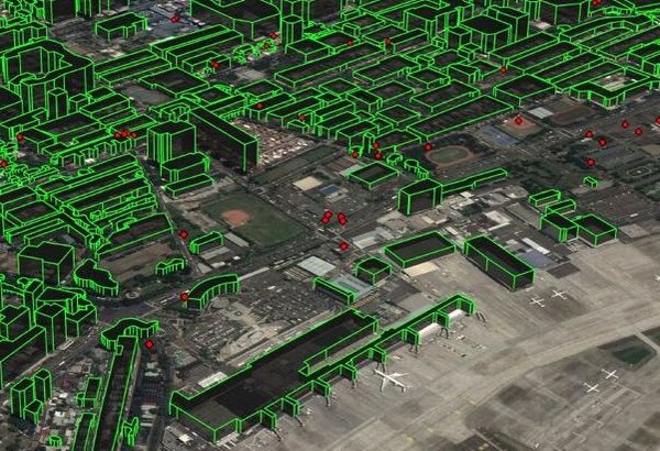
Ard provides FAA and ICAO compliant lighting design solutions. All structures that occupy airspace need to be lighted as an obstruction to aircraft. That includes skyscrapers, cell towers, and more.

Ard integrates GPS expertise with traditional survey methods, delivering optimal results. Whether for building plots, golf courses, quarries, or city centers, our experience and equipment ensure high-quality topographic mapping.
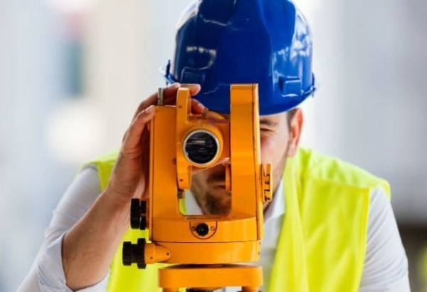
Ard Geographics offers premium Hydrographic survey data for marine applications, encompassing ports, harbors, rivers, and coastal zones. Survey results, presented as standard charts or digital drawings.
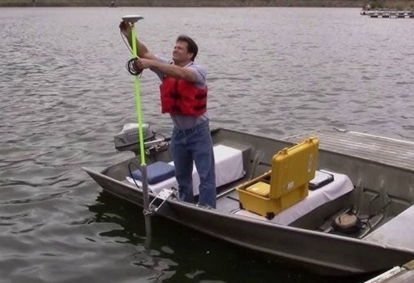
Ard Geographics employs industry-standard equipment to measure essential oceanographic and meteorological parameters for design and operational purposes. Measurements cover coastal to full ocean depths.

Ard Geographics, deeply engaged in the construction industry, prioritizes flexibility, reliability, precision, and practicality. Specializing in construction and engineering surveying.

Ard excels in developing, measuring, and analyzing horizontal and vertical control networks using GPS and conventional surveying. We also provide GPS base stations and Ground Control Points for aerial surveys.

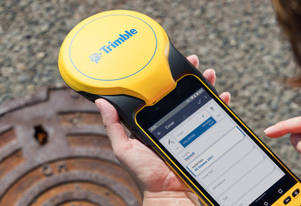
Ard Geographics, a regional GIS leader, employs ESRI mobile GIS and Trimble handheld devices, enhancing field data collection, analysis, and display for reliable and accurate geographic information integration.
